A library for working with the Earth
Geospatial datasets,
ready to download.
Elevation models, satellite mosaics and climate time series. Find your area of interest, inspect the metadata and bring analysis-ready files into QGIS, Python or your next model.
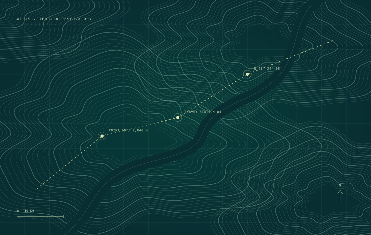
50 km
46° 36′ N 10° 24′ EFeatured coverage / European Alps
Start with the terrain.
30 m elevation. 284 cloud-optimized tiles.
18 GB of data, ready for regional analysis.
06Documented collections
130.8 GBVersioned archive data
04Research disciplines
Recently indexed
The data, without the detour.
| Collection / coverage | Format | Archive | Updated | |
|---|---|---|---|---|
| Alpine terrain · 30 m DEMAT-DEM-001 · 30 m · EPSG:3035 | COG / GeoTIFF | 18.0 GB | 2026.09 | ↗ |
| Surface reflectance · EuropeAT-SAT-002 · 10 m · EPSG:4326 | COG / GeoTIFF | 42.0 GB | 2026.10 | ↗ |
| North Atlantic · ocean velocityAT-OCE-003 · 0.25° · EPSG:4326 | NetCDF | 9.6 GB | 2026.10 | ↗ |
A consistent way to work
Discover once.
Reproduce every time.
- Inspect the exact coverage.
Bounding boxes, coordinate systems, resolution and update intervals are listed before you request a file.
- Read only the bytes you need.
Cloud-optimized rasters support HTTP range reads. Regional partitions keep a local notebook from pulling a global archive.
- Pin a published release.
Each archive includes a checksum manifest, schema and processing notes. Keep the same inputs throughout a study.