What is in the archive
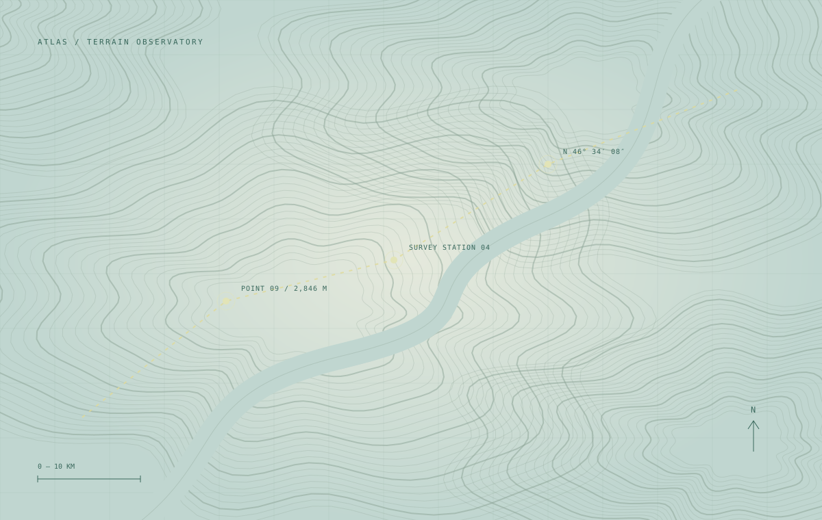
The complete release contains 284 elevation tiles, slope and aspect derivatives, coverage polygons and per-tile quality notes. Each tile uses a consistent grid and naming convention.
Delivery & reproducibility
Download the complete release or use the tile index to request a smaller study area. HTTP range delivery supports remote reads without downloading an entire raster. Archives include SHA-256 checksums and a JSON release manifest.
Before you use the data
Confirm the coordinate reference system, nodata conventions and acquisition period against your project requirements. Source attribution and use conditions are supplied with each approved archive.
Example workflow: QGIS and Python
Add an approved COG endpoint as a raster layer in QGIS, or use rasterio to read a window from its geographic bounds. For NetCDF, inspect time and depth coordinates with xarray before selecting a region.